|
The Transit of
Venus - June 5, 2012
An Observing Project in Canada's Northwest Territories
| Observing Site: |
26km Outcrop,
Secondary Site |
| Latitude: |
62º 31.156' N |
Sunrise: |
03:49 |
| Longitude: |
114º 52.659' W |
Sunset: |
23:28 |
|
Predicted
Transit Circumstances (at this observing site with ΔT =
66.8s) |
|
Event |
Date |
Time (MDT) |
Alt |
Azi |
P |
V |
Sep |
|
External Ingress |
June
5, 2012 |
16:05:11 |
+43.1º |
229.1º |
41.6º |
10.6 |
|
|
Internal Ingress |
June
5, 2012 |
16:22:37 |
+41.5º |
234.1º |
39.2º |
10.7 |
|
|
Maximum Transit |
June
5, 2012 |
19:26:36 |
+21.3º |
278.4º |
345.2º |
12.5 |
539.9" |
|
Internal Egress |
June
5, 2012 |
22:31:59 |
+2.8º |
317.9º |
291.3º |
02.3 |
|
|
External Egress |
June
5, 2012 |
22:49:40 |
+1.5º |
321.7º |
288.9º |
02.4 |
|
| Description: |
| For a natural setting to
observe the Transit of Venus this rock outcrop is just a short
drive down Highway #3 from Yellowknife. Park well to the side of
the highway. The barren rock is easy to access, but those
with very heavy equipment will find it difficult to transport
their equipment to the top. The horizon is unobstructed to
the northwest. There are no services. |
| Clear Sky Chart: use
Yellowknife, Northwest Territories |
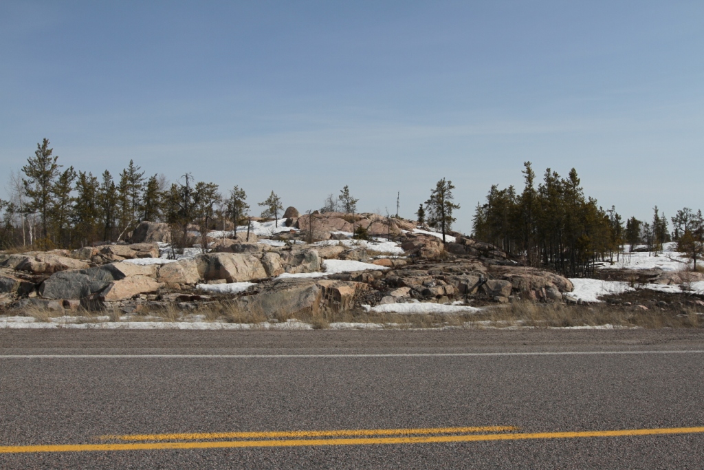
26km Outcrop on the north
side of Highway #3. |
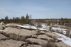
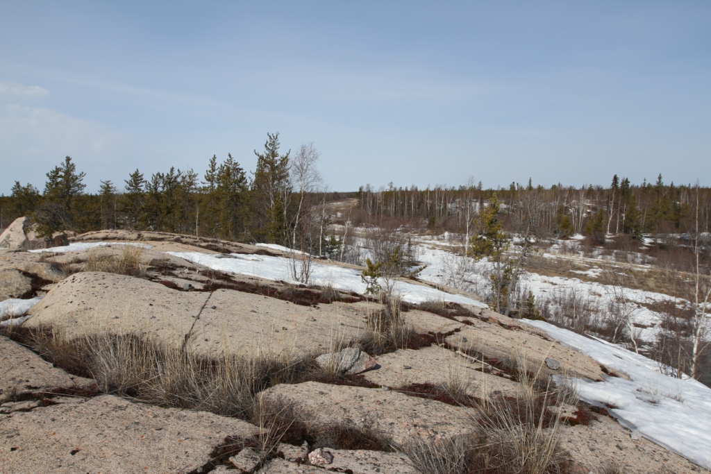
A view of the site which can hold several equipment set-ups
comfortably. |
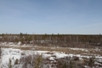
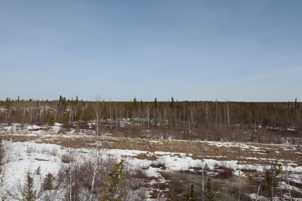
View towards the horizon at C4. The old abandoned highway lies
below. |
|