|
The Transit of
Venus - June 5, 2012
An Observing Project in Canada's Northwest Territories
| Observing Site: |
Dome Rock,
Secondary Site |
| Latitude: |
62º 44.964' N |
Sunrise: |
03:49 |
| Longitude: |
115º 46.323' W |
Sunset: |
23:35 |
|
Predicted
Transit Circumstances (at this observing site with ΔT =
66.8s) |
|
Event |
Date |
Time (MDT) |
Alt |
Azi |
P |
V |
Sep |
|
External Ingress |
June
5, 2012 |
16:05:12 |
+43.2º |
227.9º |
41º |
10.6 |
|
|
Internal Ingress |
June
5, 2012 |
16:22:38 |
+41.7º |
233.0º |
39º |
10.7 |
|
|
Maximum Transit |
June
5, 2012 |
19:26:37 |
+21.8º |
277.6º |
345º |
12.5 |
539.9" |
|
Internal Egress |
June
5, 2012 |
22:31:58 |
+3.3º |
317.1º |
291º |
02.3 |
|
|
External Egress |
June
5, 2012 |
22:49:39 |
+2.0º |
321.0º |
288º |
02.4 |
|
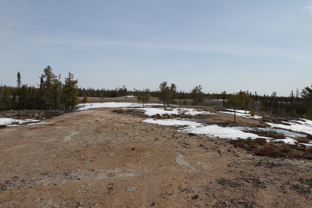
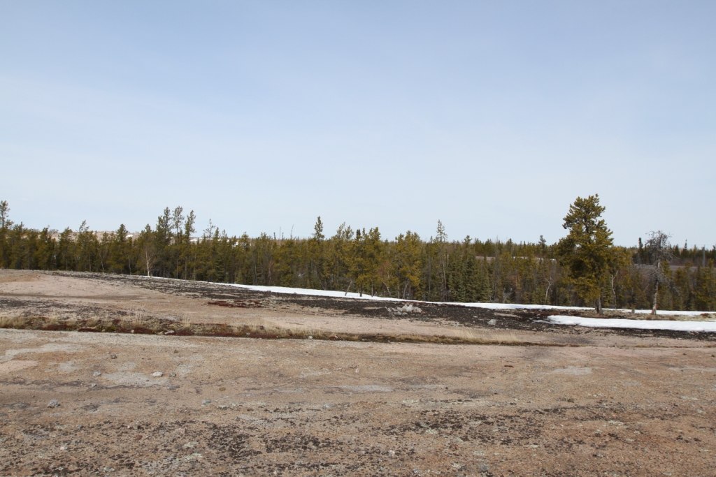
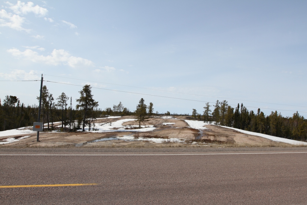
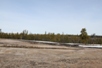
| Description: Dome
Rock is an outcrop of the Canadian Shield just west of Stagg
Creek on Highway #3, which is easily accessible from the
highway. Being composed of relatively dry, smooth rock
rising through the surrounding boreal forest, a number of us in
Yellowknife have been to Dome Rock for our regular Fall
observing sessions. Looking at the pictures below one
can see the importance of good siting for an unobstructed view
of the horizon at Contact IV. Dome Rock is not an official name.
There are no services. |
| Clear Sky Chart: use
Stagg
River |
#1 Dome Rock site |
#2
View towards horizon at C4 |
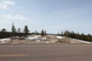
#3 View of site from Highway 3 |
|