|
The Transit of
Venus - June 5, 2012
An Observing Project in Canada's Northwest Territories
| Observing Site: |
Dory Point Nav
Marker, Alternate Site |
| Latitude: |
61º 14.93417' N |
Sunrise: |
04:16 |
| Longitude: |
117º 29.59683'
W |
Sunset: |
23:21 |
|
Predicted
Transit Circumstances (at this observing site with ΔT =
66.8s) |
|
Event |
Date |
Time (MDT) |
Alt |
Azi |
P |
V |
Sep |
|
External Ingress |
June
5, 2012 |
16:05:18 |
+44.8º |
227.0º |
41º |
10.6 |
|
|
Internal Ingress |
June
5, 2012 |
16:22:44 |
+43.2º |
232.1º |
39º |
10.7 |
|
|
Maximum Transit |
June
5, 2012 |
19:26:32 |
+22.4º |
276.7º |
345º |
12.5 |
540.4" |
|
Internal Egress |
June
5, 2012 |
22:31:46 |
+2.8º |
315.6º |
291º |
02.3 |
|
|
External Egress |
June
5, 2012 |
22:49:28 |
+1.3º |
319.4º |
288º |
02.4 |
|
| Description: |
South shore of the Deh Cho near
a river navigation marker with an unobstructed view towards the
Transit egress, provided one is sited properly taking into
consideration brush along the bank of the river. Need to
consider possible obstructing brush for C1 as well.
While the horizon appears to be unobstructed at C4, the site
is barely adequate. There are no services.
There may be other areas along the
South shore of the Deh Cho which would be suitable. |
| Clear Sky Chart: use
Fort
Providence |
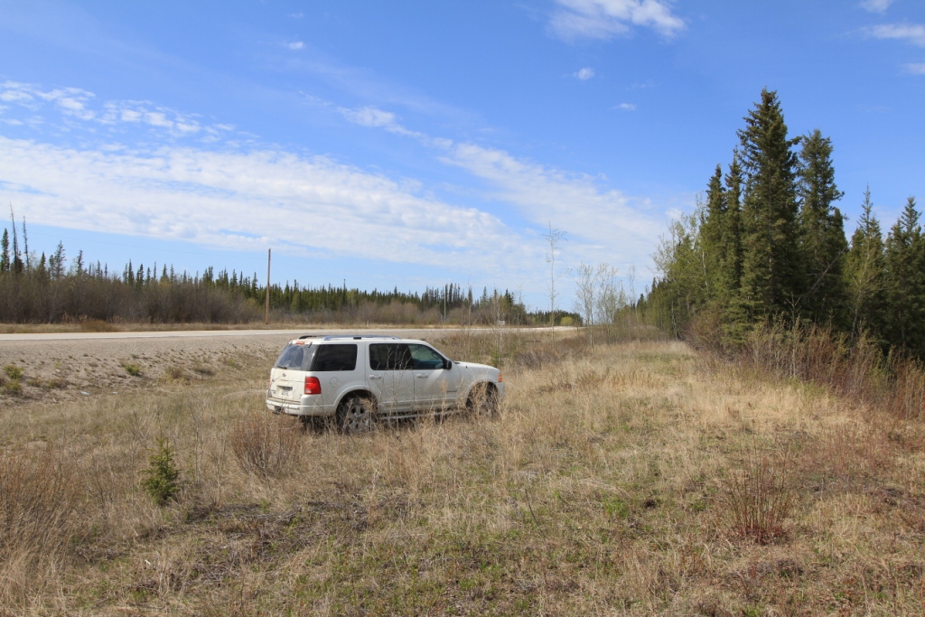
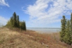
View of site near navigation marker on north side of Highway
#3, south side of the Mackenzie River just east of the ferry
crossing. |
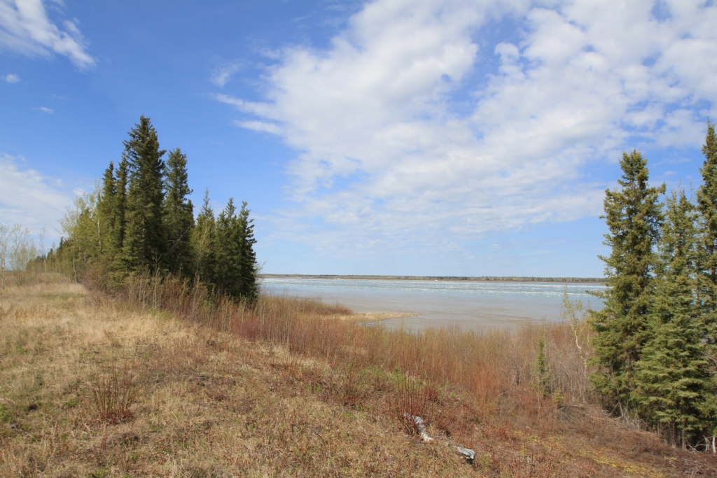
View towards C3-C4 from site
|
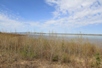
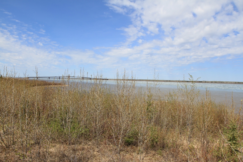
Lower down in site. These bushes will be a problem
(may have to tie them back.) The new Deh Cho bridge under
construction is on the horizon. |
|