|
The Transit of
Venus - June 5, 2012
An Observing Project in Canada's Northwest Territories
| Observing Site: |
Highway to C4,
Alternate |
| Latitude: |
62º 07.994' N |
Sunrise: |
04:00 |
| Longitude: |
116º 15.361' W |
Sunset: |
23:28 |
|
Predicted
Transit Circumstances (at this observing site with ΔT =
66.8s ) |
|
Event |
Date |
Time (MDT) |
Alt |
Azi |
P |
V |
Sep |
|
External Ingress |
June
5, 2012 |
16:05:14 |
+43.8º |
227.8º |
41.6º |
10.6 |
|
|
Internal Ingress |
June
5, 2012 |
16:22:40 |
+42.2º |
232.9º |
39.1º |
10.7 |
|
|
Maximum Transit |
June
5, 2012 |
19:26:35 |
+21.9º |
277.4º |
345.2º |
12.5 |
540.1" |
|
Internal Egress |
June
5, 2012 |
22:31:54 |
+3.0º |
316.7º |
291.3º |
02.3 |
|
|
External Egress |
June
5, 2012 |
22:49:35 |
+1.6º |
320.5º |
288.9º |
02.4 |
|
| Description: |
On this stretch of Highway #3
between Fort Providence and Behchoko the road runs 323º azimuth
(with my best attempts to measure the azimuth) and off on the
north side of the highway is the remains of an old stop build on
gravel till. There is plenty of place to park one's
vehicle there.
To observe the Transit between C3 and C4 a position across the
highway on the south side in the grass-shrub-dirt highway
allowance should provide a clear, unobstructed view to the
horizon. There are no services. You may be visited
by buffalo in this spot along the highway.
Please note that this is an alternate site, and likely would
only be used in a disparate attempt to seek clear skies.
The name of this observing site is meant to be descriptive. |
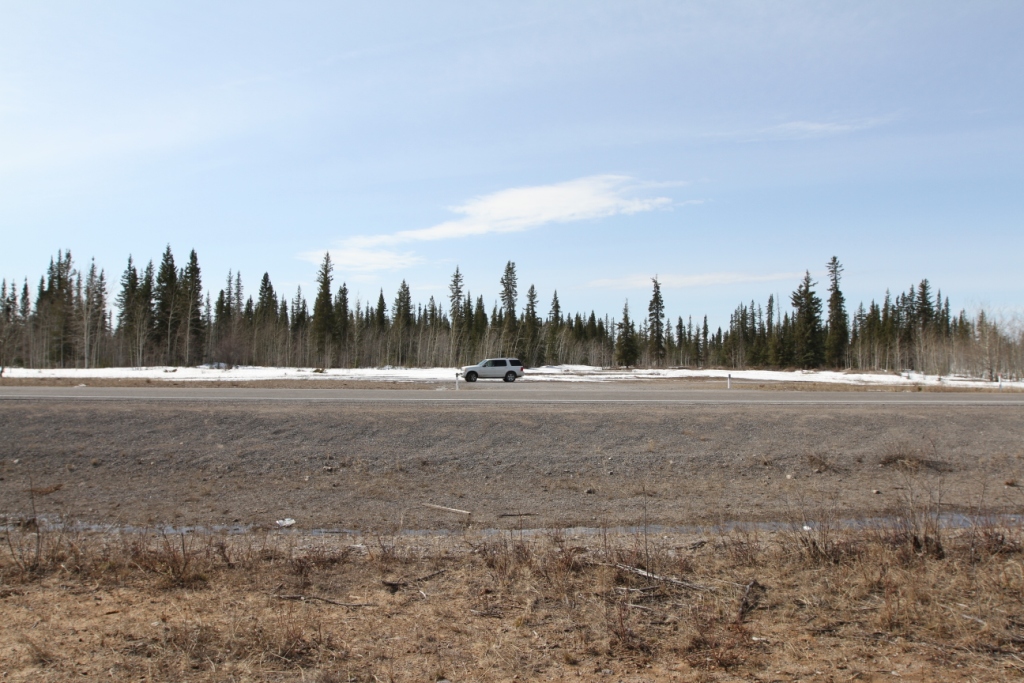
View of the area in which to park on the north side of
Highway #3. |
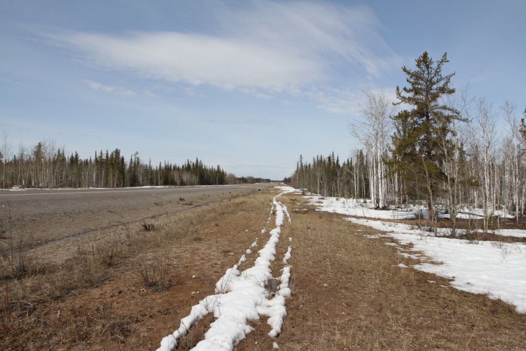
View down Highway #3 towards C3-C4. The highway aligns
to 323º azimuth. |
|
|