|
The Transit of
Venus - June 5, 2012
An Observing Project in Canada's Northwest Territories
| Observing Site: |
Pilots Monument,
Secondary Site |
| Latitude: |
62º 27.92583' N |
Sunrise: |
03:48 |
| Longitude: |
114º 20.8955' W |
Sunset: |
23:25 |
|
Predicted
Transit Circumstances (at this observing site with ΔT =
66.8s) |
|
Event |
Date |
Time (MDT) |
Alt |
Azi |
P |
V |
Sep |
|
External Ingress |
June
5, 2012 |
16:05:09 |
+42.9º |
229.8º |
41º |
10.6 |
|
|
Internal Ingress |
June
5, 2012 |
16:22:35 |
+41.3º |
234.7º |
39º |
10.7 |
|
|
Maximum Transit |
June
5, 2012 |
19:26:36 |
+21.1º |
278.9º |
345º |
12.5 |
539.9" |
|
Internal Egress |
June
5, 2012 |
22:32:00 |
+2.6º |
318.3º |
291º |
02.3 |
|
|
External Egress |
June
5, 2012 |
22:49:41 |
+1.3º |
322.2º |
288º |
02.4 |
|
| Description: |
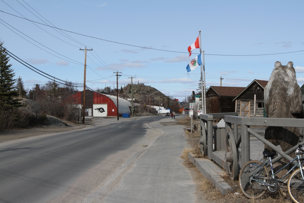
| Pilots Monument is a well-known
landmark rising above Yellowknife's Old Town area. There
is not a lot of room for many people, but the south side of the
Monument should be able to hold several equipment setups. The horizon at
external egress is clear of obstructions. There are no
services, but the site is within the City of Yellowknife. |
| Clear Sky Chart for
Yellowknife, Northwest Territories |

Pilots Monument shown from Franklin Avenue near the Flats |

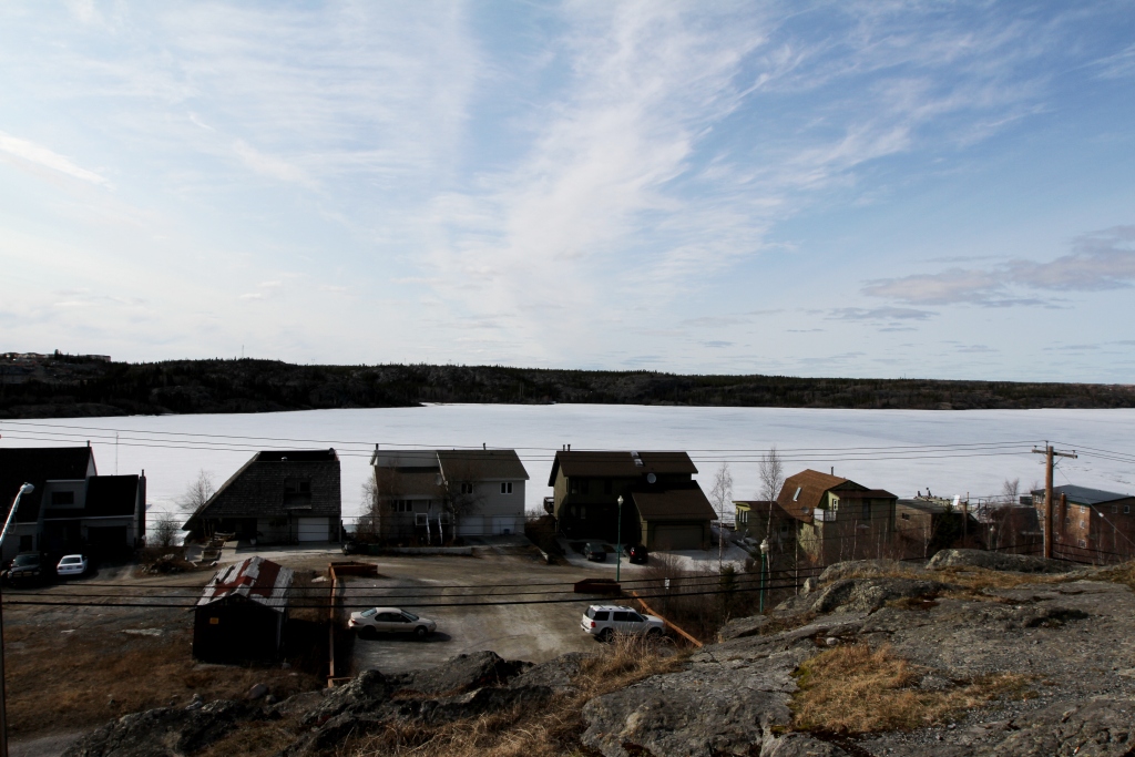
View of site from atop Pilots Monument
|
View to the NW is clear to horizon
|
|