|
The Transit of
Venus - June 5, 2012
An Observing Project in Canada's Northwest Territories
| Observing Site: |
West Alt One,
Alternate Site |
| Latitude: |
62º 34.422' N |
Sunrise: |
03:54 |
| Longitude: |
116º 22.002' W |
Sunset: |
23:35 |
|
Predicted
Transit Circumstances (at this observing site with ΔT =
66.8s) |
|
Event |
Date |
Time (MDT) |
Alt |
Azi |
P |
V |
Sep |
|
External Ingress |
June
5, 2012 |
16:05:14 |
+43.5º |
227.3º |
41.6º |
10.6 |
|
|
Internal Ingress |
June
5, 2012 |
16:22:40 |
+42.0º |
232.4º |
39.2º |
10.7 |
|
|
Maximum Transit |
June
5, 2012 |
19:26:36 |
+22.0º |
277.1º |
345.2º |
12.5 |
540.0" |
|
Internal Egress |
June
5, 2012 |
22:31:56 |
+3.3º |
316.6º |
291.3º |
02.3 |
|
|
External Egress |
June
5, 2012 |
22:49:37 |
+2.0º |
320.4º |
288.9º |
02.4 |
|
| Description: |
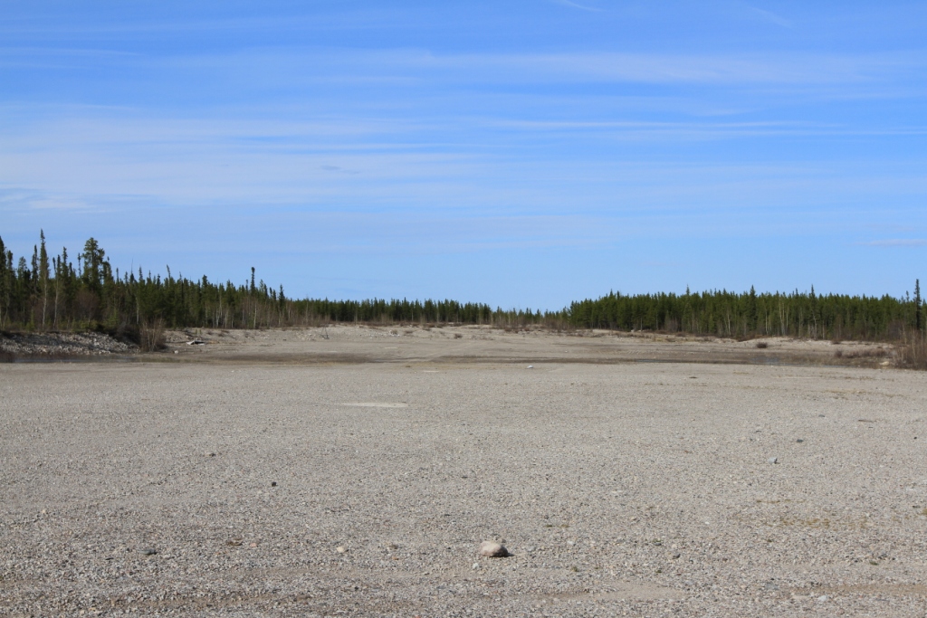
| West Alt One, our designation, on
on the east side of Highway #3 west of Behchoko and accessed
through a gravel pit road to site. Horizon is clear above +1º at
C3-C4. Site consists of gravel till with cover and low
brush. There are no services. |
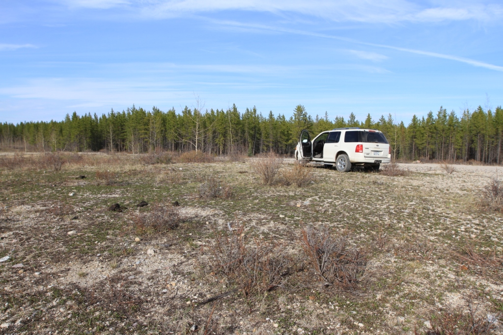
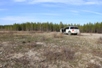
View from West Alt One towards the northwest. The site
is perched on a ledge overlooking an old quarry sit(?). The
distance trees screen the site from Highway #3. The horizon
is clear above 1º. |
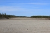
There is plenty of room for observers and equipment at this
site. The gravel till has cover and low brush. Be
careful not to step on bison scat.
|
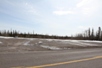
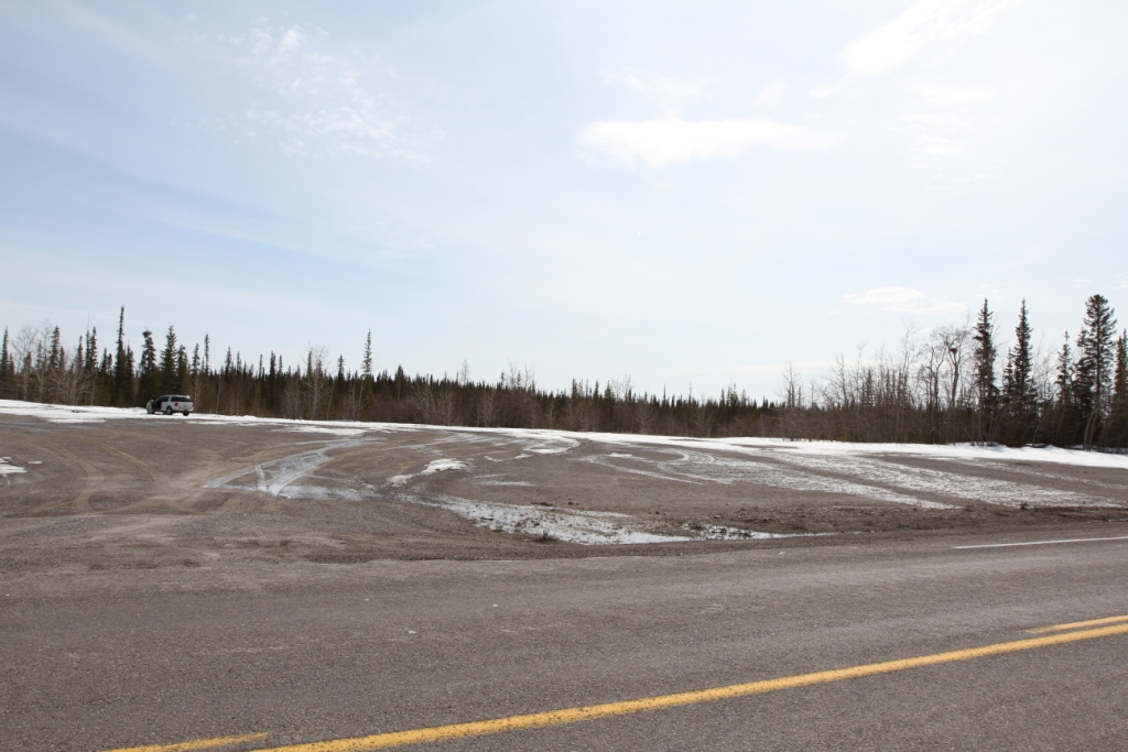
West Alt One alternate site is accessed on the southeast of Highway #3
(picture from early spring.)
|
After entering the gravel pan turn left to the northeast and
follow the trail to the site. Use your GPS if needed. |
|